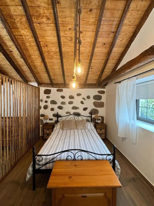
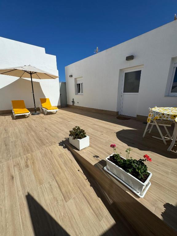
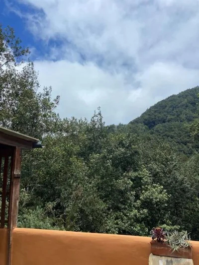
Refugio Luz de vida Anaga is on Carretera las Carboneras, amid the mountainous landscape of the Anaga massif in Tenerife. The village of Las Carboneras is 530 m away and Ermita de San Isidro is 520 m away. Nearby, several spots offer views of the ravine landscape: Mirador Barranco la Fajana is 1.9 km away and Cruz del Carmen is 2.0 km away. Afur, another village in the area, is 2.8 km away.
There are several beaches a short distance away: Playa del Garajao is 2.4 km away, Playa de la Fajana is 2.5 km away and Playa de Pachila is 2.6 km away; Playa de Tamadite is 3.2 km away. Playa de Ocadila is 2.9 km away. Tenerife North–Ciudad de La Laguna Airport is 9 km away and Tenerife South Airport is 61 km away. To visit Santa Cruz de Tenerife, Teatro Leal is 16 km away and the Museo Militar Regional de Canarias is 22 km away.
In Anaga, you can alternate days on the coast with walks through the mountain landscape and visits to its villages and viewpoints. Cruz del Carmen and Mirador Barranco la Fajana are nearby reference points to help you find your way around; Afur and Las Carboneras offer a chance to explore the rural settlements of the massif. On beach days, you can choose from several stretches of coastline without travelling far from the house. You can also spend a day in Santa Cruz de Tenerife, visiting its museums and cultural venues, before returning to Las Carboneras.
Viewpoint Barranco la Fajana.
— A scenic viewpoint for taking in the ravine and mountains of Anaga.
1,9 km
Cruz del Carmen
— A viewpoint in the massif, surrounded by the mountainous landscape of Anaga.
2,0 km
Playa del Garajao
— A nearby stretch of coastline where you can enjoy the scenery and the sea.
2,4 km
Playa de la Fajana
— A beach near Las Carboneras on Tenerife’s north coast.
2,5 km
Afur
— A rural village in the Anaga massif, surrounded by mountains and ravines.
2,8 km
Playa de Ocadila
— Another nearby coastal spot for exploring the Anaga shoreline.
2,9 km
 Español
 English
 Français
 Deutsch
 Italiano
 Nederlands
 Português
 日本語
 中文
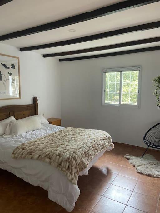
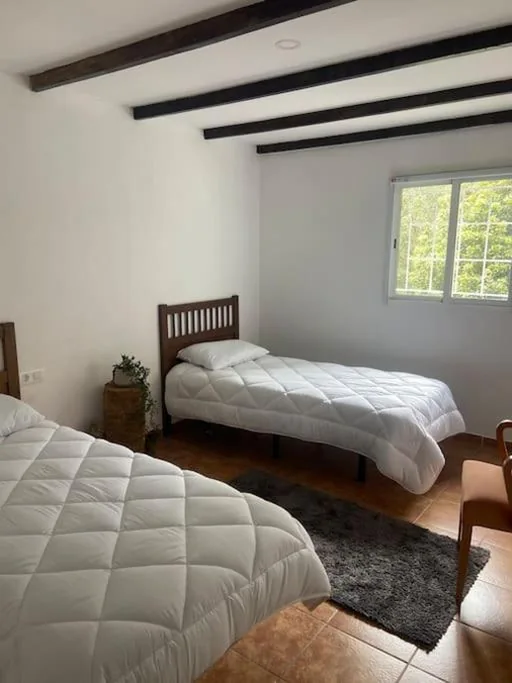
 Holiday home